
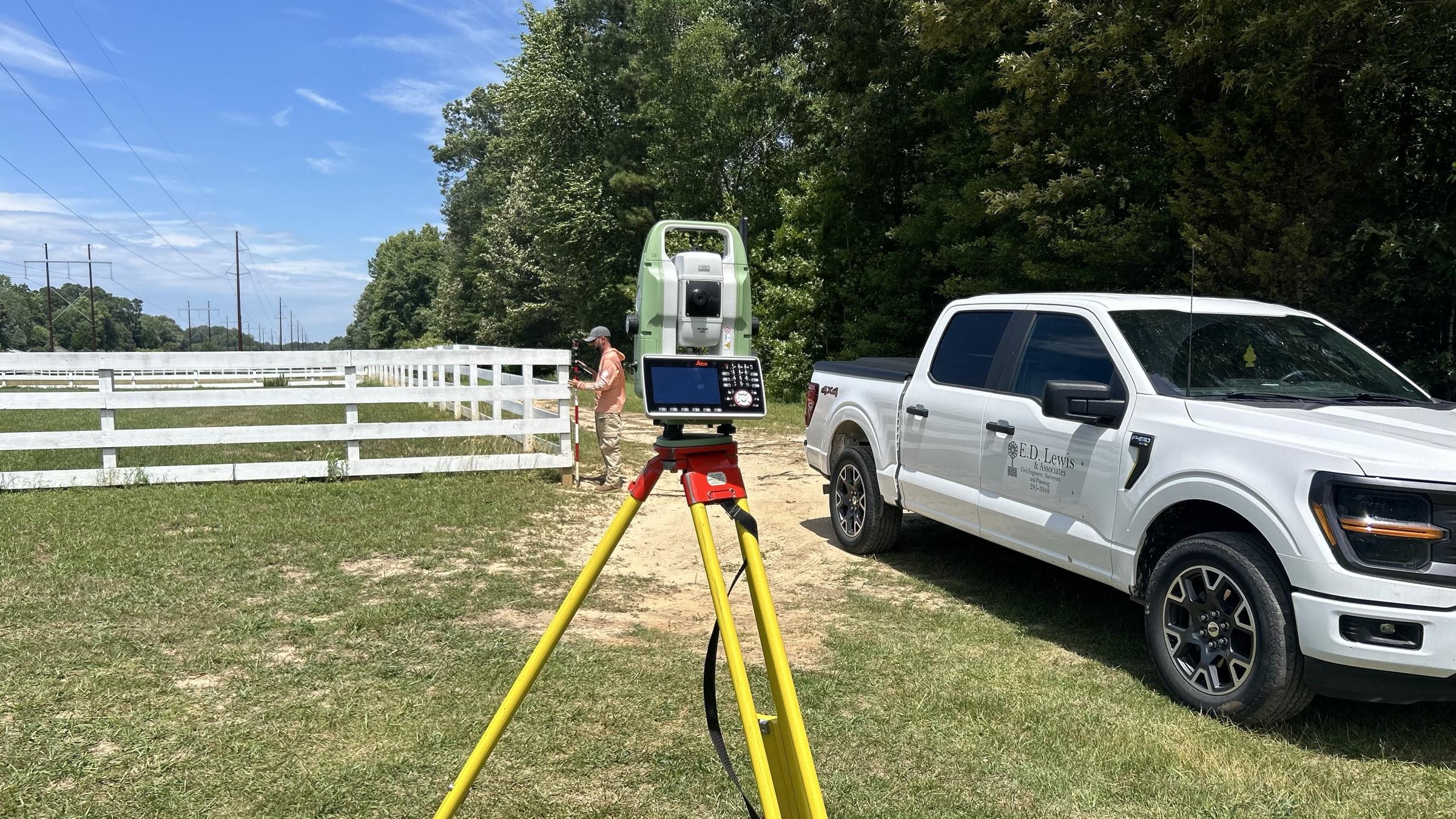
Land surveying in Richmond & Central Virginia
Boundary, ALTA, topographic and physical improvement surveys, plot plans and construction stakeout.
Which survey do you need?
The appropriate deliverable depends on what the survey is for. We can discuss the records and submission requirements that apply to your property.
Boundary surveys
Researching and field-locating all existing evidence, then determining and establishing the legal property lines and corners. The evidence is the recorded deeds and plats and the monumentation found in the field. Smaller residential lots, sometimes called property-line surveys, follow the same process with less field work.
ALTA/NSPS land title surveys
ALTA stands for the American Land Title Association. An ALTA/NSPS survey is a very detailed survey prepared to the national ALTA/NSPS standards, most often requested for commercial real estate transactions.
Physical improvement surveys
We locate the property lines, then show an accurate representation of what sits on the property: the house, well, driveway, sheds and other improvements.
Plot plans for building permits
The plan a locality needs before it issues a building permit. We show the new house on the lot, or take a physical improvement survey and add the proposed addition or building.
Topographic surveys
Existing contours, structures, utilities, tree lines, drainage and other features — the base map every site plan is engineered on top of.
Easement plats
Drawing and describing easements of every kind — utility, access, drainage and conserved open space among them — so they can be recorded and the party granted the easement knows exactly what they have.
Right-of-way plats
Plats defining public and private rights of way, dedications, and the strips of land involved in a road improvement or a subdivision street.
Subdivision plats
The recordable plat that turns one parcel into several, drawn to the locality's subdivision ordinance so it can actually be approved and recorded.
Construction stakeout
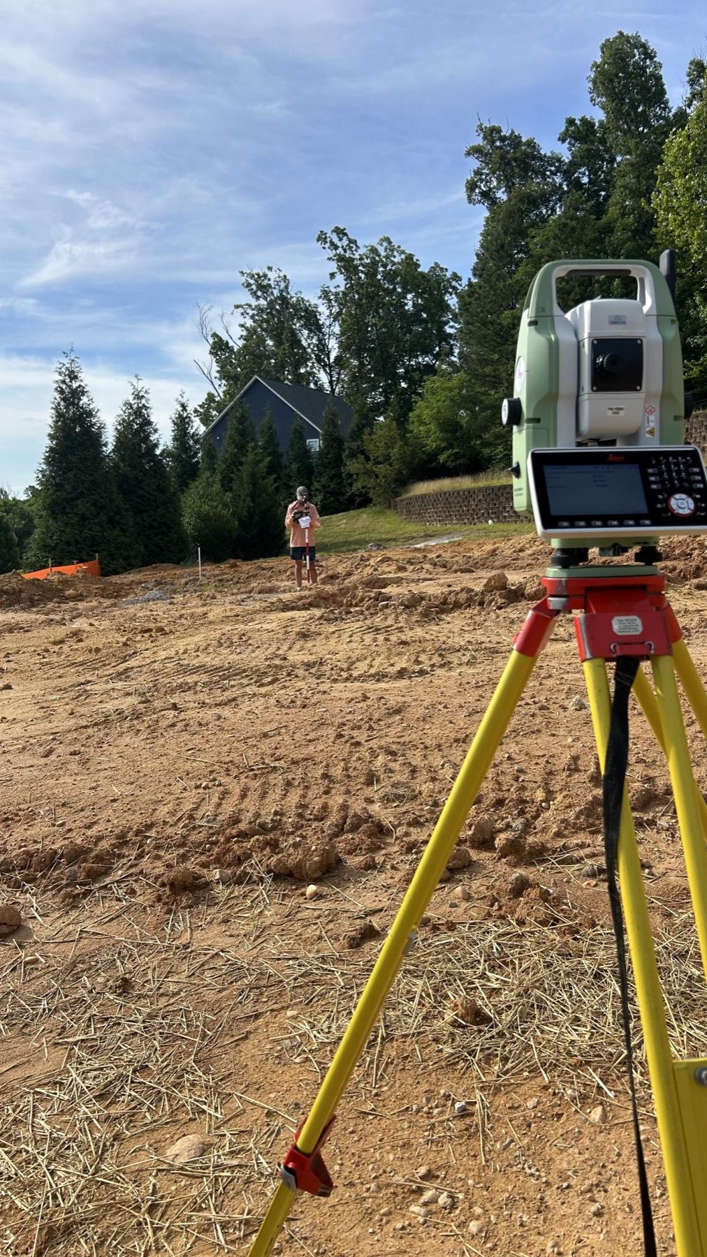
Putting the engineered design back on the ground: building corners, road centerlines, utilities, grades and offsets, so the crew builds what was approved.
As-built surveys
A survey confirming that a stormwater management facility (SWM/BMP, usually a pond) was built accurately to what the construction plans show.
Land surveying in Richmond and Central Virginia
Land surveying is the process of making accurate measurements, locating and determining property boundaries, and documenting the information to define a property and its features. In Virginia it has to be performed under a licensed surveyor, and the plat it produces is the document a county, a lender or a title company will accept as the answer.
People call us for one of a small number of reasons. They are developing a site and need a topographic base map before an engineer can draw anything at all. They are buying or selling real estate and the lender wants a plat. They are building a fence, a shed, a pool or an addition and the locality wants the physical improvements and setbacks shown. They are dividing a parcel. Or they need to know where the line actually runs.
The part clients underestimate is the research. Field work is visible — someone stands in your yard with an instrument — but the answer is usually decided before anyone leaves the office, in the deed books and the recorded plats and the records of every parcel that touches yours. An old rural tract whose deed refers to a neighbor's fence line and a creek takes real work to resolve. A current lot in a subdivision with its monuments already set is much faster: it still has to be researched and located in the field, but there is far less to reconstruct.
Most of that research is done electronically, through the county circuit court image viewers, where old deeds and plats can be pulled up and read without a trip to the courthouse.
What happens after you call
You tell us the parcel
Address, parcel number, jurisdiction, and what the survey is for. That last one changes what kind of survey you need.
We pull the record
Deeds, recorded plats, adjoining parcels and prior surveys. This is where the boundary is genuinely determined.
We measure the ground
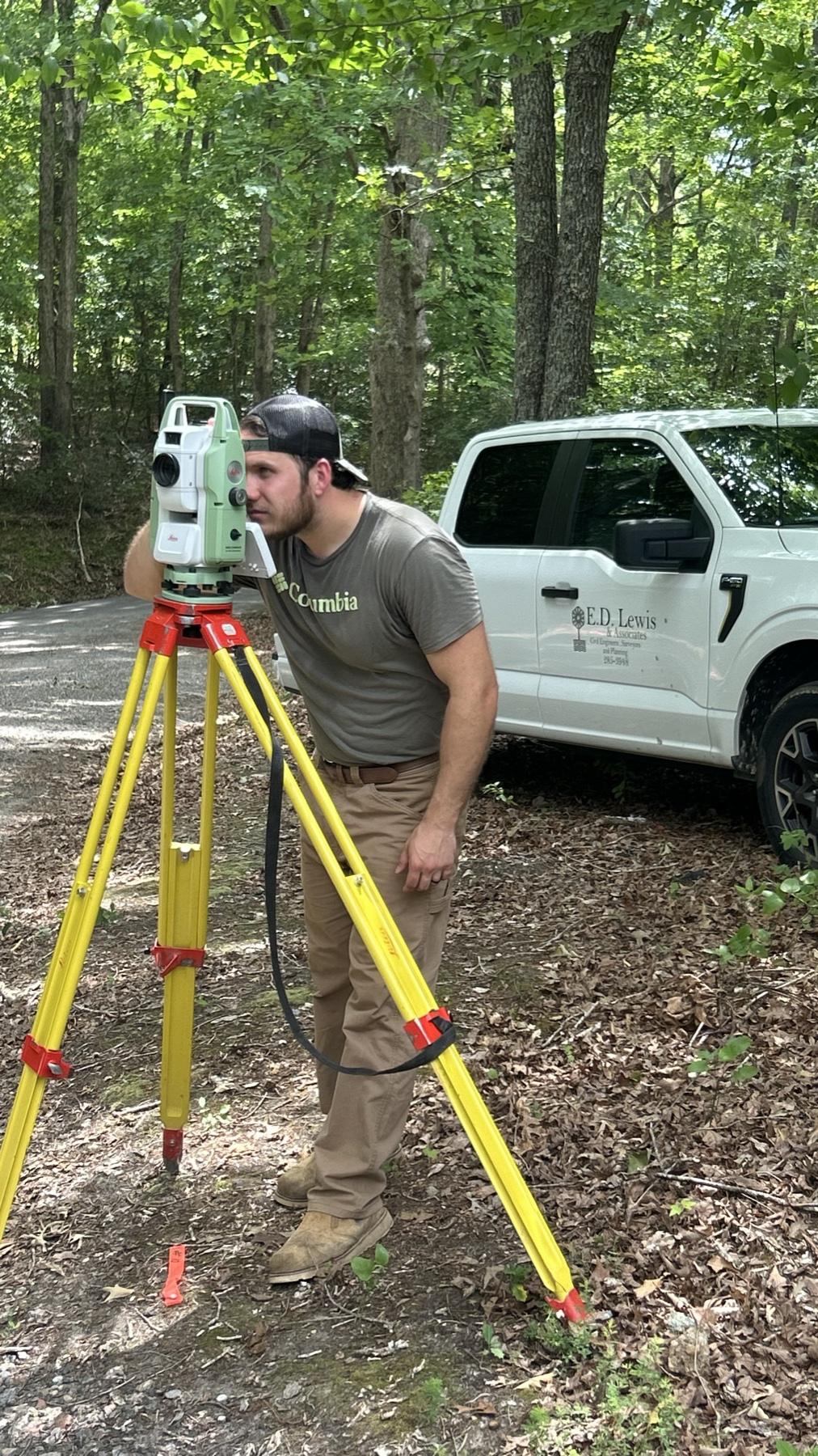
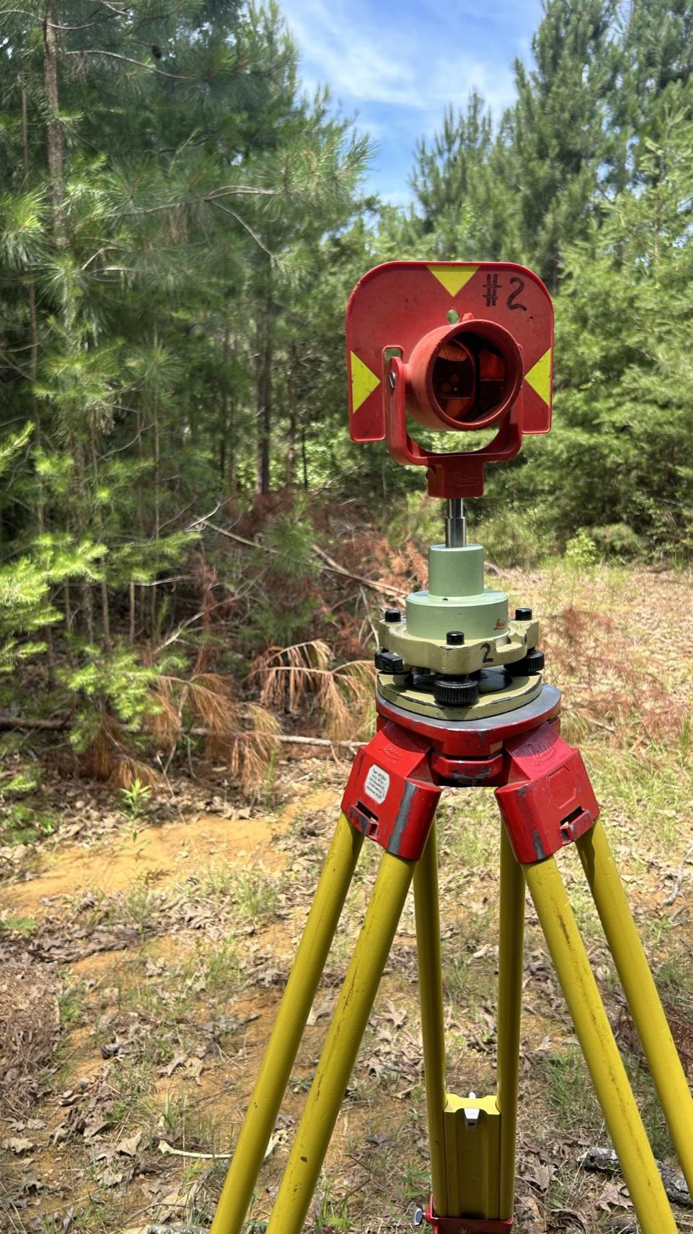
Field crew locates existing monuments, improvements and features. New monuments are set only where a corner is determined to be lost.
You get a sealed plat
The appropriate deliverable is prepared for the purpose discussed with the survey professional and the applicable reviewing party.
Your survey and your site plan come from one office
If you are developing rather than just settling a line, the survey is the foundation the engineering sits on. When the two are done by different firms, the seam between them is where errors live: a topographic base map that misses a drainage feature, an easement that does not match the plat, a lot line that the stormwater design quietly crosses.
When surveying and engineering are coordinated, the project team can work from a shared understanding of the site. See how our civil engineering work builds on the survey.
Six reasons you might need a surveyor
If one of these is you, the survey you need is probably already named further up this page.
Developing the site
Before any engineer can design grading, drainage or utilities, someone has to map what is there. That is the topographic survey, and it is the base every sheet of the plan set is drawn on top of.
Buying or selling real estate
A lender or title company wants a current plat showing the boundaries and the improvements on them. This is the most common reason a residential survey gets ordered, and it usually arrives with a closing date attached, so tell us the date when you call.
Building a fence or a wall
The cheapest way to avoid a boundary dispute is to find the line before the posts go in. A fence a foot over is a legal problem that outlasts the fence, and neighbors who were friendly beforehand often are not afterward.
Building or adding on to a house
Setbacks decide whether the house or addition you have drawn is permitted at all. Most Virginia localities want a plot plan showing the proposed structure and its distances to the lines before they will issue a building permit, so this belongs before the architect finishes, not after.
Dividing a parcel
Turning one lot into two or more requires a subdivision plat drawn to the locality's ordinance and recorded with the clerk. The ordinance sets minimum lot sizes, frontage and access requirements that frequently decide how many lots the land will yield.
A commercial closing
When commercial property is bought, sold or financed, the lender or title insurer usually asks for an ALTA/NSPS survey: a very detailed survey prepared to the American Land Title Association standards, showing the boundaries, improvements, easements and access.
Find your location
We survey throughout the greater Richmond area and Central Virginia. Choose a locality to see the projects we have done there, or call about a parcel elsewhere in Virginia.
- City of Richmond24 projects
- Henrico County39 projects
- Chesterfield County26 projects
- Goochland County
- Hanover County4 projects
- Powhatan County3 projects
- Amelia County
- Louisa County1 project
- New Kent County1 project
- Prince George County
- Spotsylvania County
- City of Petersburg
- Dinwiddie County
- Cumberland County
- King William County
- Caroline County
- Charles City County
- Surry County
- Sussex County